The “For Official Use Only” (FOUO) classification does not relieve the state of the obligation to explain on what grounds it withholds information, reminds the Ministry of Culture and Information (MCI) in its response to the FBK's request. The agency explained that the Ministry of Agriculture (MoA), in refusing data on anthrax burials, must specify the number and date of the order imposing the classification and state whether it can be inspected, but it did not provide a direct assessment of the refusal itself.
WHAT HAPPENED
Recall that the FBK editorial team previously reported that in the town of Kosshy residential development found itself within the sanitary zone of a burial site for animals that had died of anthrax. The Veterinary Department of Akmola Region confirmed that in Kosshy there is one burial site from 1986: it is located 25 metres from the Sarkyrama river and 40–50 metres from residential buildings, and the planned development area falls within the Class I hazard zone with a radius of 1000 metres.
Our editorial team also put similar questions about the burial site to the MoA: how many burial sites are recorded, where they are located, whether the law permits proximity to housing, and what is known about Kosshy. Vice-Minister Amangaliy Berdalin refused to answer all the questions at once, citing the FOUO classification and the acting minister's order of 22 April 2025 No. 117.
No figures, no addresses, not a word about Kosshy, no explanation of why even part of the information cannot be disclosed.
Meanwhile, the Ecological Code classifies environmental information as publicly available, and the same principle is enshrined in the Aarhus Convention. The FBK sent an official complaint to the MoA and in parallel approached the MCI with a request to assess the lawfulness of such a refusal.
WHAT THE MCI WROTE ABOUT THE FOUO CLASSIFICATION
The Ministry of Culture recalls that the procedure for handling the “FOUO” marking is determined by the Rules approved by Government resolution of 24 June 2022 No. 429. Under them, each state body approves by order of its head its own list of documents bearing this marking, itself justifies the need for the restriction and bears personal responsibility for its decision.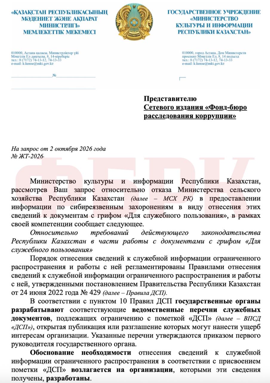
The reference point is the Unified List, where subparagraph 19.3 covers information on particularly dangerous animal diseases, the prevention and elimination of which are financed from the budget. The marking is valid for 5 years. Therefore the MoA is entitled to include such information in its list, but only taking into account justifications. 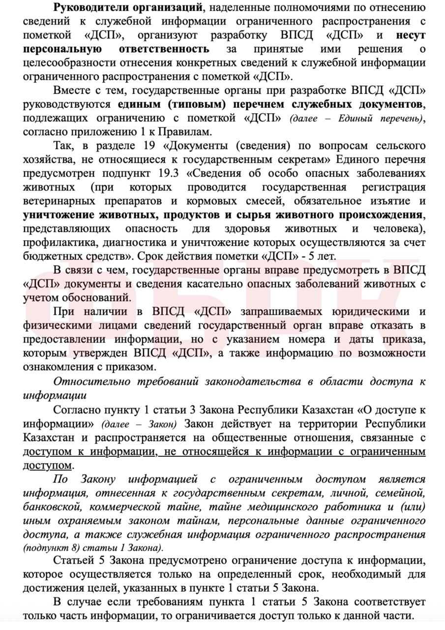
WHERE THE LAW LIMITS SECRECY
The MCI also draws attention to the Law “On Access to Information”. A restriction is permissible only for the period necessary to achieve the purposes of the law, and if only part of the information meets them, only that part is withheld. In addition, access cannot be restricted to information on the state of the environment, fire safety, sanitary-epidemiological and radiation conditions, and food safety. Whether data on burial sites falls under these, the MCI does not specify. 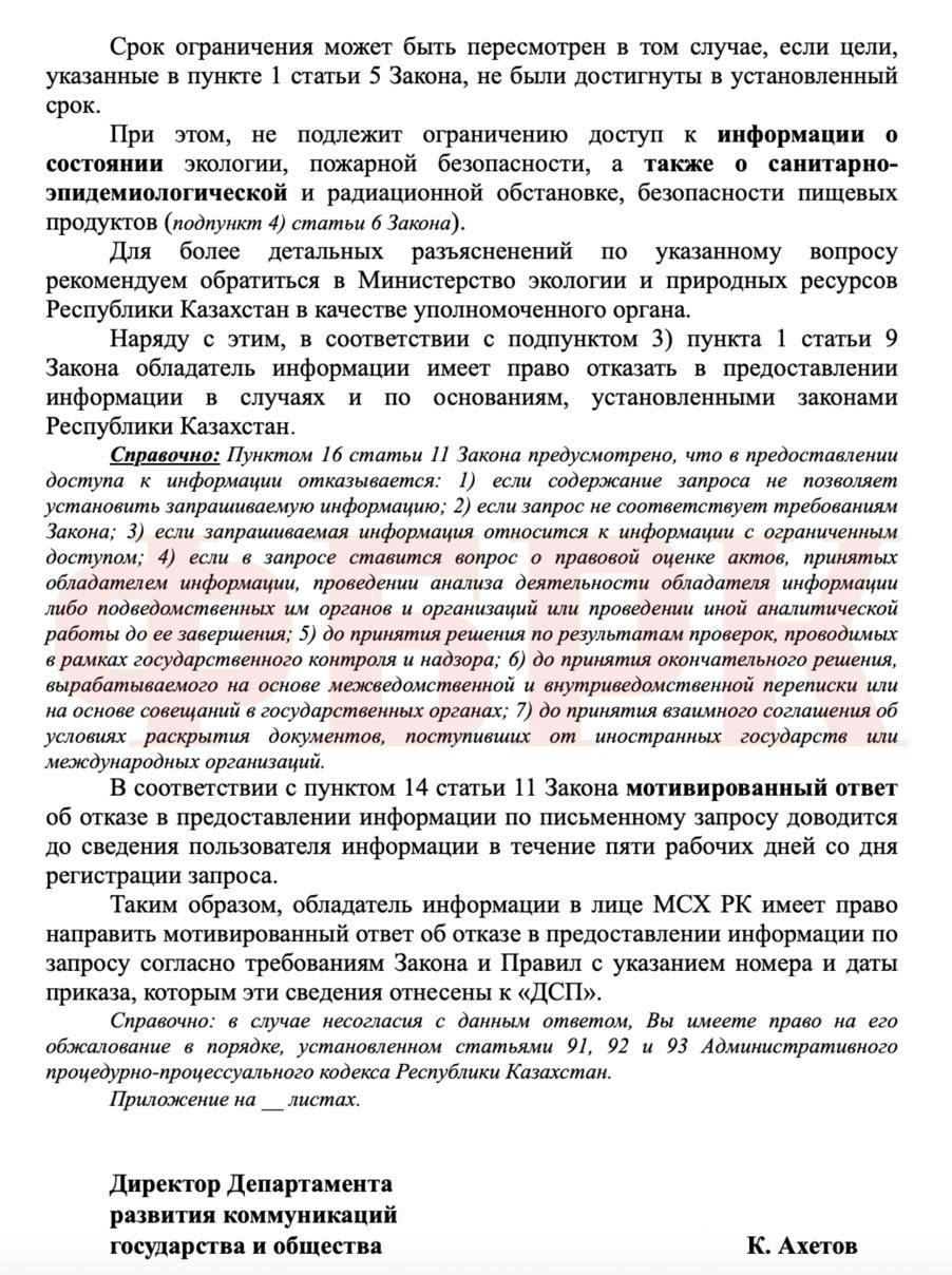
So what does this amount to?
What it amounts to is a vicious circle in which the ministry is at once the author of the rules and the judge. The MoA compiles the list of documents bearing the “FOUO” marking itself, decides itself what goes into it, and answers itself for its own decision.
But if the classification is imposed by the very body it shields from questions, then only someone prepared to ask those questions in defiance of the classification can verify its lawfulness. It is precisely at this point that departmental secrecy collides with the same Ecological Code and Aarhus Convention, which proceed from the opposite premise: environmental information should belong to society, not to the one who manages it.
MAP OF ANTHRAX BURIAL SITES
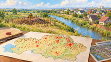
Recall that the Pavlov Analytical Centre previously compiled a map of anthrax outbreaks. There is simply no alternative public map in Kazakhstan. As noted by FBK founder Kirill Pavlov, the MoA promised one back in 2016, but it never materialised, although in 2017 the veterinary control committee stated that the coordinates of all outbreaks had been determined.
The map was linked to the National Atlas “Anthrax Outbreaks” for 1948–2004 and yielded 625 sites with an error margin of 2–4 kilometres.