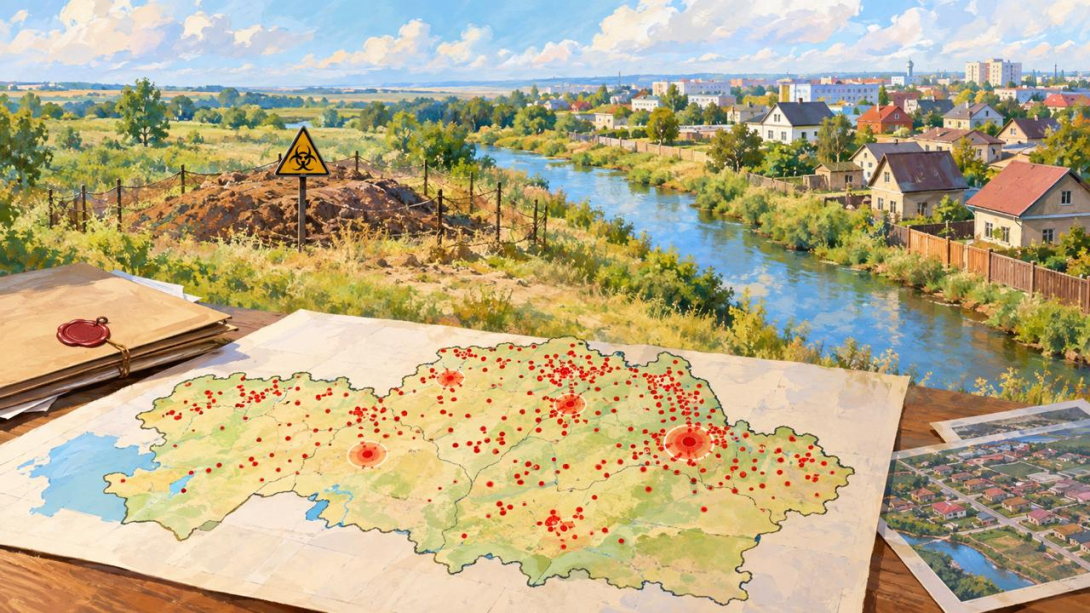
There is no public map of anthrax burials in Kazakhstan. When asked about their location, the Ministry of Agriculture (MoA), despite long-standing promises, responds with a "For Official Use Only" (FOUO) classification. That is why the Pavlov Analytical Centre had to compile such a map itself. And this whole story began in Kosshy, where residential houses ended up in the sanitary zone of a burial that the ministry did not even consider it appropriate to mention.
WHAT HAPPENED
Not long ago, the FBQK editorial team wrote about the burial of animals that died of anthrax, which, according to information from our anonymous bot, turned out to be inside the sanitary zone of residential development in Kosshy.
To verify this information, we sent a request to the MoA. But while waiting for the ministry's official response, the veterinary department of Akmola Region unexpectedly responded to questions about the burial.
They confirmed that in Kosshy there is one anthrax burial from 1986. It is located 25 metres from the Sarkyrama river, not far from the "Chistye Prudy" recreation area and 40–50 metres from residential buildings.
Such sites fall under hazard class I with a zone of 1,000 metres, and the planned residential construction area falls within its boundaries.
WHAT THE MINISTRY RESPONDED
The MoA turned out to be far less open. We asked quite specific questions: how many anthrax burials are registered, how many of them comply with regulations, where exactly they are located, whether the law permits such sites to be adjacent to residential development and, finally, what is known about the burial in Kosshy.
The response from Vice-Minister Amangaliy Berdalin was extremely brief: this information is included in the list of documents classified as "For Official Use Only".
And that, essentially, was that.
No figures, no addresses, not a word about Kosshy, no explanation of why at least part of the information cannot be disclosed. Either there was not enough time to answer, or not enough willingness, or finding the answers proved harder than stamping the documents FOUO.
Is it worth recalling that the Environmental Code explicitly classifies environmental information as publicly available and not subject to restriction or classification. The same principle is enshrined in the Aarhus Convention.
FBQK sent an official complaint to the MoA, and at the same time appealed to the Ministry of Culture and Information (MCI) with a request to assess the lawfulness of such a refusal.
THE MAP THE MINISTRY DOES NOT HAVE
As noted by FBQK founder, journalist Kirill Pavlov, the ministry promised a public map of the outbreaks back in distant 2016, but it never got round to it. The state does, however, have the coordinates. Back in 2017, the veterinary control committee stated that latitude and longitude had been determined for all outbreaks.
It turns out the state knows exactly where the dangerous sites are located, but ordinary citizens, apparently, do not necessarily need to know this.
Moreover, the scale of the problem has not disappeared over the years. In 2016, the MoA cited 2,034 anthrax burials. In the same year, the agency gave other figures too - 2,604, and in 2025 the ministry reported 2,560 registered burials. At the same time, there is still no public map that would allow their exact location to be seen.
The Pavlov Analytical Centre, unlike the state, did not promise such a map, but compiled one all the same. It was linked to the National Atlas "Anthrax Outbreaks" for 1948–2004 and produced 625 points with an accuracy of 2–4 kilometres. The points are densest in Kostanay (79), North Kazakhstan (55), Karaganda (54) and Akmola (53) regions and in the Abai region (59).
Moreover, in the East Kazakhstan Region, out of 101 burials, 95 are maintained in violation of regulations. In Tarbagatai district, a residential house is only 250 metres from the burial site, in Kurchum district a school is 650 metres away, although the standard requires at least one kilometre. And in the Zhetisu region, 33 burials have turned out to be unowned.
And after these figures, it becomes a little clearer why the MoA is so reluctant to share the map. Hiding data under an FOUO classification is, of course, possible. Hiding the burials themselves is already harder. Especially when houses and schools stand next to them.