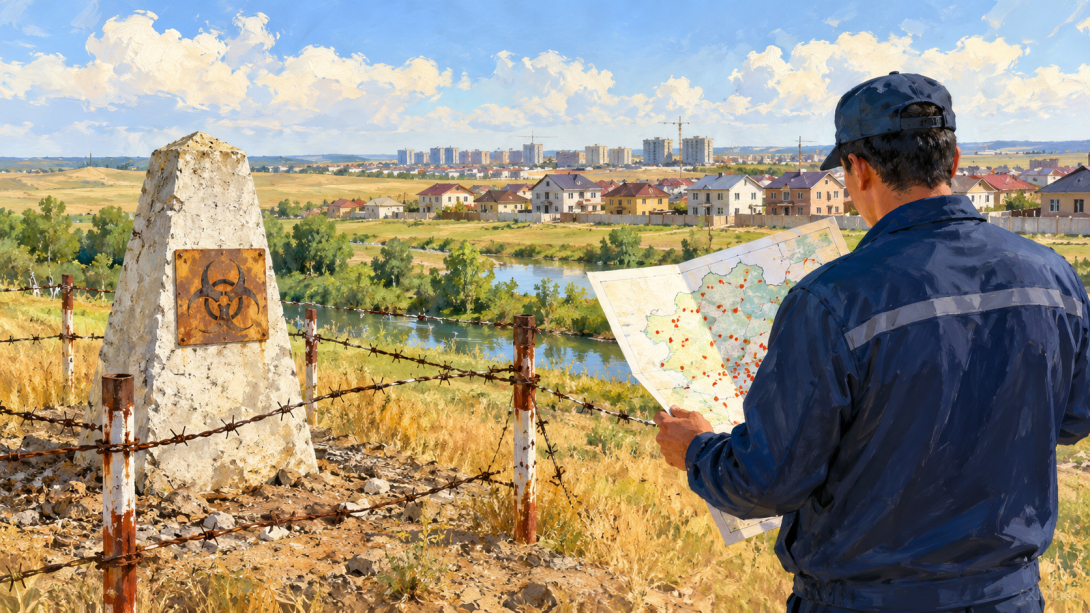
The Ministry of Agriculture (MoA) refused to publish a map of anthrax burial sites, explaining this by the risk of unlawful use of the information. At the same time, the ministry claims that state bodies have the necessary information, and the violations identified at the burial sites have been rectified.
WHY THE MINISTRY OF AGRICULTURE IS CONCEALING THE MAP
As reported by Ulysmedia.kz, Vice Minister of Agriculture Azat Sultanov stated that information about anthrax burial sites is classified as restricted-access information. As justification, he cited the danger of the disease and the possibility of this data being used for unlawful purposes.
According to him, the maps compiled by the ministry will not be made public, although the necessary information is held by the relevant state bodies.
"If there is an active and confirmed burial site with particularly dangerous diseases, construction will not be carried out. This is not the only thing we monitor. You know, when issuing technical specifications, when drawing up an object's passport, approval is mandatory, including with the sanitary-epidemiological service, which has this information to hand," he said.
WHAT THE OFFICIAL SAID ABOUT THE CONDITION OF THE BURIAL SITES
According to Sultanov, there are more than 2000 such sites in Kazakhstan. He claims that around 2000 burial sites have been repaired, and the sites where violations of requirements were identified have been brought into compliance with the regulations.
"You must understand that this is a very dangerous disease, which may be used by certain individuals for not entirely good purposes. Accordingly, the maps we make will not be made public," Sultanov stated.
WHEN PROMISES TO PUBLISH THE MAP WERE MADE
Moreover, back in July 2016, the MoA promised to open the official map of livestock burial sites to the public. This was stated by the director of the ministry's department of strategic planning and analysis, Serik Ibrayev. According to him, the map already existed, and the issue was to provide public access to it.
He also reported that the authorities had found funds for fencing livestock burial sites, and local executive bodies were supposed to resolve the problem of unfenced and unregistered sites.
However, years later, the public map never appeared. As noted the founder of FBRK, journalist Kirill Pavlov, the state has data on the location of dangerous sites: back in 2017, the veterinary control committee stated that the coordinates — latitude and longitude — had been determined for all foci.
CONTEXT
The absence of a public map is especially important in cases where burial sites are located next to residential buildings. Without precise coordinates, it is more difficult for citizens to independently verify the location of dangerous sites and compare it with construction plans.
Earlier, FBRK reported on the burial of animals that had died of anthrax in Kosshy. According to the veterinary department of Akmola region, the site from 1986 is located 25 metres from the Sarkyrama river and 40–50 metres from residential buildings. At the same time, the sanitary protection zone for such sites is 1000 metres.
After that, the Pavlov Analytical Centre independently compiled a map of anthrax burial sites based on the National Atlas "Anthrax Foci" for 1948–2004. It marked 625 locations with a positioning error of 2–4 kilometres.