(16 February 2026 | Source: Response of the Prime Minister of the Republic of Kazakhstan to a request from deputies of the Senate of the Parliament)
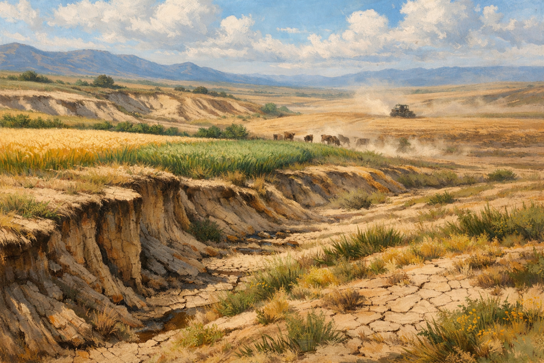
The Government of Kazakhstan has presented an official response to a parliamentary request from the Senate concerning the state of flora and land resources. According to the document, around 30 million hectares of agricultural land are affected by varying degrees of erosion.
Data from the Cabinet of Ministers indicates that the country has over 115 million hectares of agricultural land. Of this, approximately a quarter is impacted by soil degradation processes, which requires systemic measures for restoration and monitoring.
WHAT THE GOVERNMENT'S RESPONSE REPORTED
The document was prepared in response to an appeal from a group of senators who raised issues regarding the relevance of geobotanical and soil research, the scale of erosion, and the need to create a unified national information system.
The Government stated that digital monitoring tools are already in operation. Maps of the state of vegetation cover and pastures have been created using satellite data. By the end of 2027, the introduction of artificial intelligence technologies for deeper analysis of land quality is planned.
It also reported that soil research data has been updated across an area of 74 million hectares, and geobotanical data across 71 million hectares.
RESTORATION PROGRAMMES AND DIGITALISATION
Among the measures to reduce land degradation, the Government cited the development of pasture management, financing of initiatives at the district and rural district level, as well as forest reclamation works.
In particular, on the dried-up bed of the Aral Sea, saxaul was planted over an area of 1 million hectares between 2021 and 2025. These measures aim to reduce dust and salt emissions and stabilise the soil cover.
Furthermore, a bill on the "Protection of Soils" is being considered in the Mazhilis, which is expected to update research methodologies and strengthen control over the rational use of land.
IS A NEW SYSTEM NEEDED
The senators proposed creating a unified national information system for the inventory of plants and the updating of geobotanical data. However, the Government believes that the necessary institutional and digital mechanisms are already being developed and integrated into the existing land resource management framework. The creation of a separate system has been deemed impractical.
Thus, despite the significant scale of erosion, the Cabinet of Ministers reports a phased modernisation of monitoring and the existence of effective regulatory tools.